Shopping for a Sarasota waterfront home but unsure what ICW, bridge clearance, or MLW actually mean for your boat? You are not alone. The right dock, depth, and route to the Gulf can make or break your experience and future resale. In this guide, you will learn the key boating terms, how they apply in Sarasota, which permits and agencies matter, and a simple checklist to verify before you buy. Let’s dive in.
Key boating terms in Sarasota
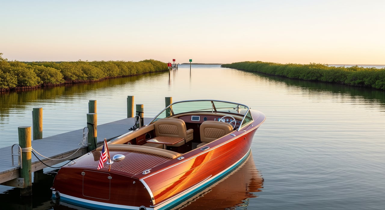
Intracoastal Waterway (ICW/GIWW)
The ICW is a protected route that runs along the coast. In Sarasota, the Gulf Intracoastal Waterway provides sheltered navigation through Sarasota Bay with marked channels. For you, being on or near the ICW often means easier cruising, better access to marinas, and more predictable depths than unmarked bay shallows.
Passes to the Gulf (New Pass, Longboat Pass)
A pass is the opening that connects the bay to the Gulf of Mexico. Currents are stronger and depths can change with storms and dredging cycles. If quick Gulf access is a priority, proximity to a pass helps, but you should plan for faster currents, speed restrictions, and potential shoaling.
Bridge clearance
Bridge clearance is the vertical space under a bridge from the water to the underside of the structure. Movable bridges have schedules and procedures, while fixed bridges set a hard limit on mast and tower height. Before you fall in love with a property, confirm your route’s bridge types and official clearances through the U.S. Coast Guard’s bridge information and Local Notices to Mariners.
Mean High Water (MHW) and Mean Low Water (MLW)
MHW and MLW are tidal reference points calculated by NOAA. In Florida, the mean high water line often marks the boundary between private upland and state-owned submerged lands. Ask for a survey showing the MHW line and verify whether any dock or lift crosses state sovereignty lands, which can trigger additional permits.
No-wake and speed zones
No-wake and speed zones exist for safety and environmental protection, including manatee areas. These zones affect travel time and may influence which boats are practical at a given home. Review Florida Fish and Wildlife Conservation Commission maps for manatee and boating speed zones before you commit.
Channel, marked channel, and controlling depth
A channel is the navigable corridor, often marked with aids to navigation. The controlling depth is the shallowest depth along that route at a specific datum, usually MLW. This number determines whether your boat can reliably reach the ICW or pass, especially at low tide.
Dredging and shoaling
Dredging removes sediment to maintain depth. Shoaling is sediment buildup that reduces depth, which can happen between dredging cycles or after storms. Understanding who maintains nearby channels and when they were last dredged helps set realistic expectations for access and upkeep.
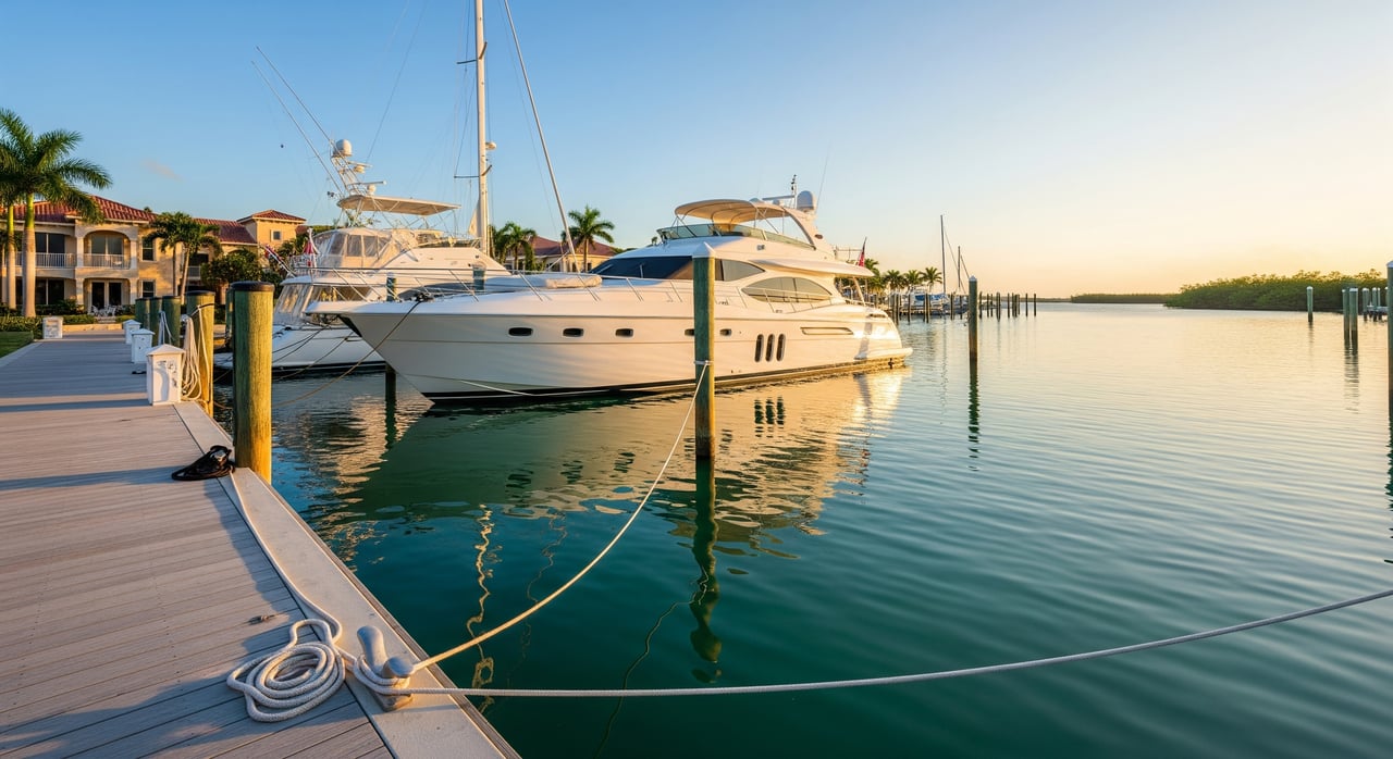
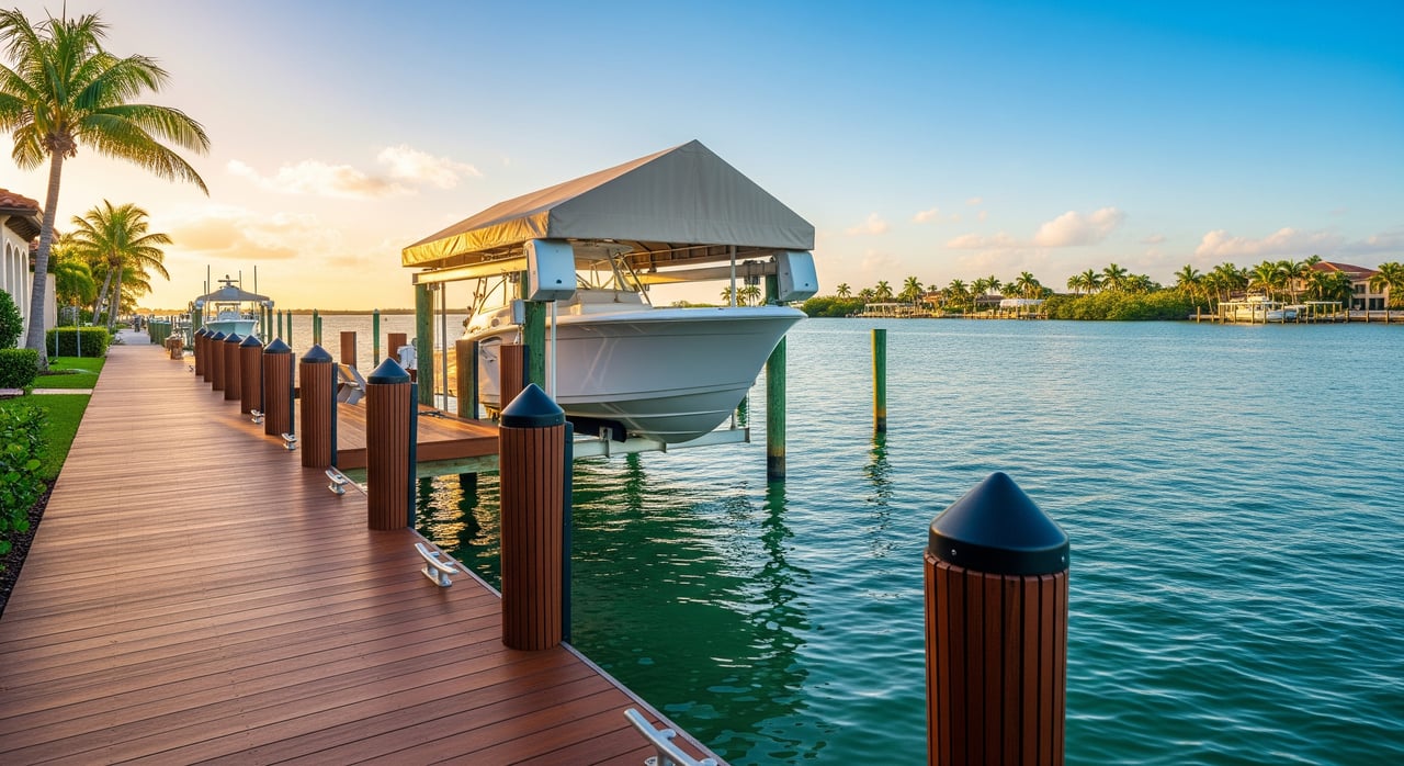
Dock types and mooring options
Common options include fixed piers, floating docks, boat lifts, wet slips, dry stack storage, and moorings. Each has different depth needs, load limits, and permitting paths. The right setup depends on your boat’s draft, beam, weight, and how tides and wakes behave at the property.
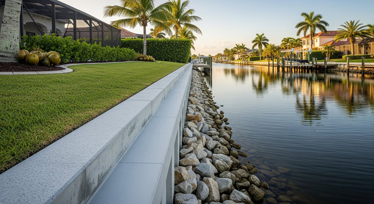
Riparian rights and sovereignty submerged lands
Riparian or littoral rights relate to access and use of the water, such as building a dock, subject to permits. In Florida, structures beyond the mean high water line may be on state sovereignty submerged lands and require additional authorization. Confirm rights and restrictions in the deed and with your attorney.
Aids to Navigation and Local Notice to Mariners
Channel markers, buoys, and bridge schedules can change. The U.S. Coast Guard publishes the Local Notice to Mariners for updates on aids to navigation, bridge operations, and hazards. You can use it to track temporary shoaling, dredging, or construction that could affect your route.
Who regulates what in Sarasota
Understanding jurisdiction helps you know where to verify permits and restrictions. These official sources provide the most reliable information:
- Sarasota County Planning and Development Services: local permits for docks, lifts, seawalls, and shoreline work. Check application requirements and any environmental reviews. Visit the county’s Planning and Development Services page for current processes.
- Florida Department of Environmental Protection (FDEP): oversees sovereignty submerged lands and environmental resource permitting. Review FDEP’s Submerged Lands and Environmental Resource coordination guidance to confirm what applies to your lot.
- U.S. Army Corps of Engineers (USACE) Jacksonville District: federal permitting for work in navigable waters, including dredge and fill. See the Jacksonville District Regulatory page for forms, timelines, and contact points.
- Florida Fish and Wildlife Conservation Commission (FWC): boating regulations, speed zones, and manatee protections. Review statewide boating regulations and manatee zone maps for Sarasota waters.
- U.S. Coast Guard (USCG): aids to navigation, bridge data, and the Local Notice to Mariners. Use the USCG bridges resource and Local Notices to Mariners to verify clearances and any temporary restrictions.
- NOAA: tidal datums, tide predictions, and nautical charts. Check NOAA Tides & Currents and the NOAA Nautical Chart Viewer for depths, datums, and updated chart features.
- FEMA: flood zone maps and base flood elevations. Confirm the property’s flood risk using the FEMA Flood Map Service Center.
Authoritative links referenced above:
- Sarasota County Planning and Development Services: planning and development services
- FDEP: Submerged Lands and Environmental Resource coordination
- USACE Jacksonville District: Regulatory
- FWC: boating regulations and manatee protection zones
- USCG: bridges and Local Notices to Mariners
- NOAA: Tides & Currents and Nautical Chart Viewer
- FEMA: Flood Map Service Center
Buyer checklist: verify before you buy
Use this list to confirm the essentials in writing before you close on a Sarasota waterfront home.
- Title and rights: Request the deed and a current survey locating the mean high water line and any recorded riparian or littoral rights. Confirm there are no encroachments or shared-use easements that limit dock placement.
- Permits and compliance: Collect all permits for existing docks, lifts, and seawalls, plus inspection records and any final approvals. Verify that permits are current and transferable, or identify what will be required for replacements.
- Depth at the property: Obtain recent depth soundings at the dock area and along the path to the nearest marked channel at both high tide and mean low water. Ask nearby marinas about shoaling patterns and the last dredge dates.
- Route and bridges: Map the route from your dock to the ICW and preferred pass, including each bridge type and clearance. Verify official clearances and opening procedures with USCG resources.
- Dock, lift, and seawall condition: Have a marine contractor inspect piles, decking, fasteners, electrical, water service, and lift capacity. Confirm the lift’s rating matches your boat’s fully loaded weight.
- Speed and manatee zones: Review FWC resources to understand speed limits from the property to the ICW and through the passes. Factor real travel times into your daily boating plans.
- Marina and storage alternatives: If the lot lacks a dock or depth, check marina slip availability, dry stack options, and any county mooring fields. Confirm HOA or city rules on trailering and on-street parking.
- Insurance and maintenance: Get quotes for homeowner’s coverage with dock and seawall, plus boat insurance rated for local conditions. Budget for seawall tie-back maintenance, lift servicing, and potential dredging assessments.
- Flood risk and storms: Verify FEMA flood zone and base flood elevation. Identify haul-out and secure mooring options for storm season.
- Professional support: Engage a Florida real estate attorney to review riparian rights language. Hire a marine construction expert to scope any needed repairs or upgrades and provide cost estimates.
Common scenarios and what to watch
Bayfront cottage with no dock
- What to check: recorded riparian rights, feasibility of a dock given seagrass and depth, and distance to the nearest marked channel. If depth is limited, compare the cost and practicality of a community marina or dry storage.
Intracoastal lot with a private dock
- What to check: depth at mean low water, current permits for the dock and lift, and nearby speed limits that could increase wake exposure. The ICW location is great for access, but confirm your boat can leave the slip at low tide.
Barrier island property close to a pass
- What to check: stronger currents, historic shoaling, and the condition of seawalls and tie-backs. Review bridge clearances along the alternate inland routes if weather makes the pass unsuitable on certain days.
Large center-console or sailboat owner
- What to check: controlling depth of the channel and all bridge clearances along the route to the Gulf. Verify lift feasibility for weight and beam, or plan for a deep-water wet slip at a marina.
How to verify and who to call
- Start with data: Pull tide predictions and datum info from NOAA Tides & Currents and chart your route in the NOAA Nautical Chart Viewer.
- Confirm bridges: Use the USCG bridges resource for clearances and opening procedures, and check the Local Notice to Mariners for any temporary changes.
- Check speed and manatee zones: Review FWC boating regulations and manatee protection zones.
- Validate permits: Review Sarasota County’s planning and development services for dock, lift, and seawall permit requirements. For submerged lands or ERP questions, consult FDEP’s Submerged Lands and Environmental Resource coordination.
- Federal approvals: If dredging or in-water work is expected, contact the USACE Jacksonville Regulatory office for applicability and timelines.
- Assess flood risk: Confirm zones and base flood elevations at FEMA’s Flood Map Service Center.
Bringing it all together
When you connect the vocabulary to your boat and route, you can quickly assess if a property fits your life on the water. Focus on depth at MLW, bridge clearances, speed zones, and the exact path from your dock to the ICW and the passes. Verify permits, inspect the infrastructure, and confirm rights. With the right due diligence, you will feel confident in both your weekend plans and your long-term investment.
If you want a clear, step-by-step assessment before you write an offer, you can lean on the combination of lifestyle insight and technical depth our clients value. With a marine construction consultant on staff, we can help you evaluate lifts, seawalls, canal depths, and navigation options and coordinate the right experts.
Ready to shortlist properties that truly work for your boat and your lifestyle? Connect with Tamina Aratari for a consultative walkthrough tailored to Sarasota’s waterfront.
FAQs
What is the ICW in Sarasota and why does it matter?
- The ICW is a protected, marked route through Sarasota Bay that usually offers more reliable depths and easier access to marinas, which can simplify daily boating and longer trips.
How do I check bridge clearance for a Sarasota waterfront route?
- Use the U.S. Coast Guard bridges resource for official clearances and the Local Notice to Mariners for temporary changes, then compare to your boat’s air draft.
Which permits are needed to build or replace a dock in Sarasota County?
- Most projects require Sarasota County approvals, possible FDEP authorization for submerged lands or ERP, and in some cases a USACE permit for work in navigable waters.
How do manatee protection and speed zones affect my boating from home?
- Speed and manatee zones can require slow speeds in certain areas, which increases travel time and may influence the type of boat and routes you choose.
What is the mean high water line and why does it appear on my survey?
- The mean high water line often marks the boundary between private uplands and state-owned submerged lands, guiding where docks can be placed and which permits apply.
Do I need flood insurance for a Sarasota waterfront property?
- If the home is in a FEMA special flood hazard area and you use a federally backed loan, flood insurance is typically required, and many buyers carry it for added risk management.